Knowledge hub
Spatial-Temporal Reasoning

Spatial-temporal reasoning involves interpreting and predicting object states across three-dimensional space and time, requiring connection of geometric, kinematic, and energetic constraints to form a coherent understanding of adaptive environments. The core task constitutes constructing and maintaining a consistent 4D world model comprising 3D spatial coordinates plus a temporal dimension that accounts for object persistence, occlusion, motion progression, and environmental changes. This capability enables agents to operate in energetic, unstructured environments such as urban streets, warehouses, or construction zones where objects move unpredictably and visibility is intermittent due to obstructions or lighting conditions. Autonomous systems must continuously update their internal representation of the world using sensor inputs including LiDAR, cameras, and radar while resolving ambiguities from partial or noisy observations that inevitably occur during real-world operation. Reasoning over time requires distinguishing between transient events such as a pedestrian stepping into the road and persistent structural changes such as a new barrier installed on a sidewalk, ensuring the system reacts appropriately to temporary phenomena while updating long-term memory of static alterations. Object identity must be preserved across time steps despite occlusion or temporary sensor dropout, relying on predictive models and data association techniques to link observations of the same entity separated by time or obscured by other objects.
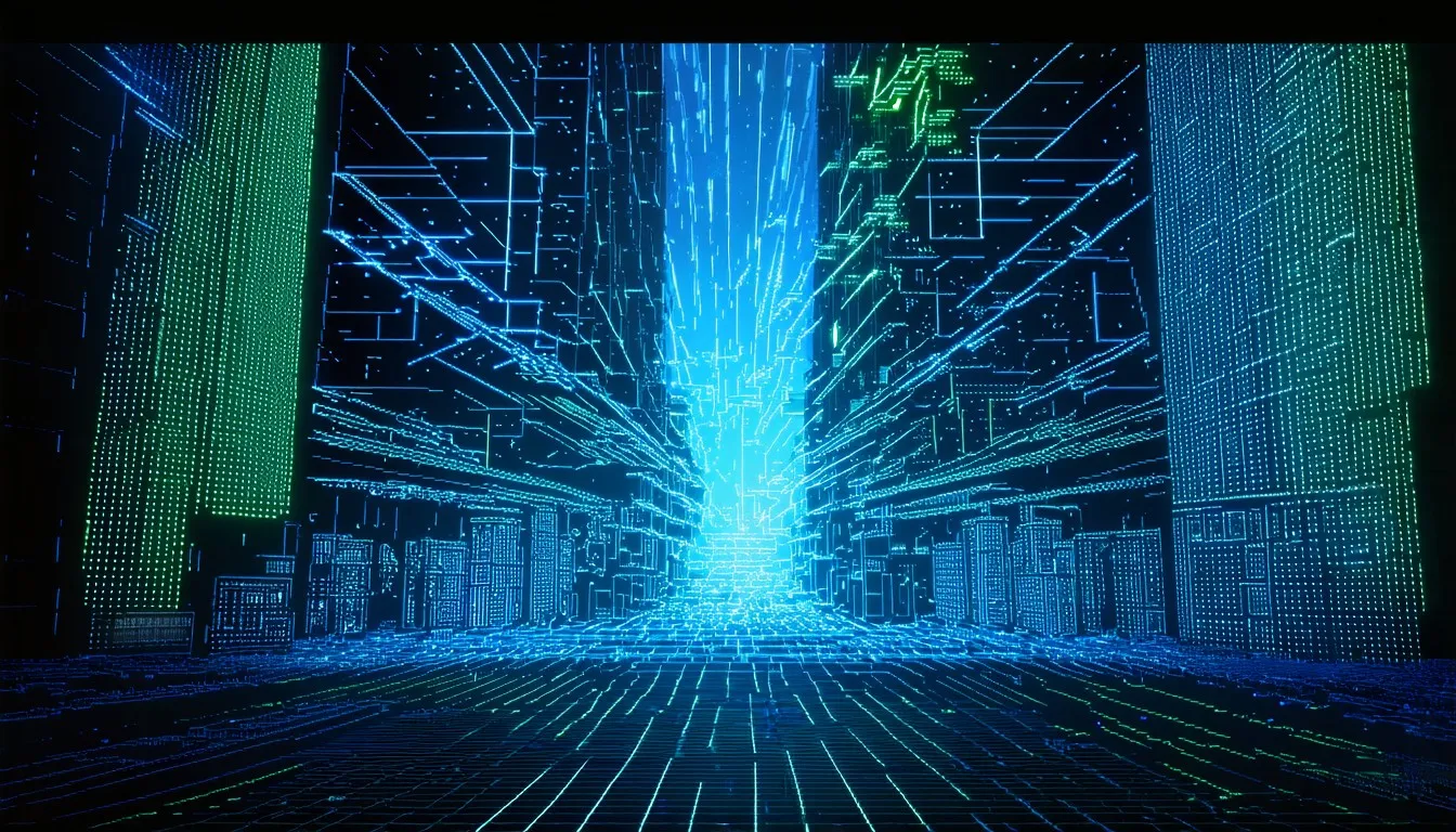
Motion prediction extends beyond simple extrapolation to inference under uncertainty, incorporating physical plausibility, interaction dynamics, and contextual cues like traffic rules and social norms to anticipate future direction with high fidelity. The system must handle multi-object scenarios where interactions create complex behaviors such as vehicles yielding to each other or crowds forming constraints, requiring a holistic view of the scene rather than isolated agent tracking. Advanced algorithms such as Graph Neural Networks model interactions between agents to predict joint direction in crowded scenes by representing entities as nodes and their relationships as edges within an adaptive graph structure that updates as the environment changes. Temporal consistency is maintained through filtering methods like Kalman filters and particle filters or learned recurrent architectures that propagate belief states forward, smoothing out noise and providing stable estimates over time despite erratic sensor data. Spatial reasoning includes understanding depth, orientation, relative positioning, and navigable volume, often represented via occupancy grids, voxel maps, or semantic scene graphs that encode the geometry and semantics of the surroundings in a format accessible to planning algorithms. Setup of spatial and temporal components demands joint optimization where spatial layout informs possible motions while observed motions refine spatial estimates, creating a feedback loop that enhances overall understanding of the scene.
Key challenges include latency in perception-to-action loops, computational load of high-frequency updates, and reliability to sensor failure or adversarial conditions that can degrade performance or compromise safety. Occlusion refers to temporary loss of visibility; persistence denotes an object’s continued existence when unobserved; progression is a time-indexed sequence of poses; and the world model is the agent’s internal estimate of all relevant entities and their states over time. These concepts form the vocabulary of spatial-temporal reasoning and provide the framework for developing algorithms capable of handling complex environments with human-like proficiency. The difficulty lies in maintaining this model with sufficient accuracy and speed to support real-time decision making in safety-critical applications where errors can have severe consequences. Historical development involved early robotics path planning in the 1960s through the 1980s which relied on hand-coded geometric rules and assumed static environments, failing in real-world dynamics due to an inability to handle uncertainty or interaction between moving agents. These systems operated effectively in controlled factory settings where the environment was predictable and unchanging; however, they lacked the strength required for outdoor operation where variables such as lighting, weather, and moving entities introduced unmanageable complexity.
The progression to probabilistic robotics in the 1990s through the 2000s with Bayesian filtering enabled handling of sensor noise and partial observability while struggling with adaptability and complex interactions that required high-level reasoning beyond simple statistical updates. This era introduced the concept of representing the state of the world as a probability distribution rather than a single deterministic estimate, allowing robots to quantify uncertainty in their measurements and predictions through mathematical frameworks like the Kalman filter or particle filter, which recursively update belief states based on new evidence. Deep
Physical constraints include sensor range and resolution limits, processing latency, which must operate at 10 to 100 Hz for real-time control, power consumption for onboard computation, and thermal management in embedded systems where space and energy budgets are strictly limited. Sensors such as LiDAR provide high-resolution depth information but suffer from performance degradation in rain or fog, while cameras offer rich semantic detail but fail in low-light conditions, necessitating sensor fusion to combine their strengths and mitigate individual weaknesses. The computational requirements of processing high-frequency sensor streams and running complex prediction models demand powerful hardware accelerators such as GPUs or TPUs, which consume significant amounts of electricity and generate heat that must be dissipated to prevent throttling or failure. These physical limitations bound the capabilities of autonomous systems and require careful engineering trade-offs to achieve optimal performance within the available resources. Economic constraints involve the cost of high-fidelity sensors such as solid-state LiDAR, compute hardware including GPUs and TPUs, and data annotation for training, where flexibility depends on reducing per-unit costs while maintaining safety margins necessary for commercial viability. The expense of mechanical LiDAR units historically hindered mass production of autonomous vehicles; however, recent advancements in solid-state technology promise lower costs through higher manufacturing yields and fewer moving parts prone to failure.
Compute costs remain a significant factor as training large-scale models requires thousands of hours of compute time on expensive clusters, while inference costs impact the profitability of deployed services, which must balance hardware expenses against revenue generated per unit. Data annotation is a substantial labor cost as human labelers manually identify objects in millions of frames to create ground truth datasets required for supervised learning algorithms to achieve high accuracy. Alternatives like pure reactive control without world models failed due to poor performance in cluttered or occluded settings where immediate sensor inputs do not provide sufficient information to make safe decisions without context from past observations. Map-based SLAM without temporal dynamics fails in highly energetic scenes where the environment changes faster than the map can be updated, leading to discrepancies between the internal representation and reality that cause navigation errors or collisions. Vision matters now because autonomous vehicles and service robots are transitioning from controlled testbeds to public deployment, where safety, reliability, and adaptability under real-world variability are essential for gaining regulatory approval and public trust. The reliance on visual sensors stems from their low cost, high information density, and similarity to human perception, which makes them intuitive for interpreting complex semantic scenes involving traffic signals, signs, and pedestrian intent.

Performance demands include sub-second reaction times, meter-level localization accuracy over hours, and high reliability in critical scenarios, standards requiring strong spatial-temporal reasoning to prevent accidents caused by delayed or incorrect interpretation of the environment. Current deployments include Waymo’s robotaxi fleet operational in select cities, Tesla’s Autopilot using vision-based highway navigation, and warehouse robots from companies like Locus Robotics and Geek+, which demonstrate successful commercial application of these technologies in specific domains. Benchmarks show top systems achieve over 95% accuracy in pedestrian arc prediction over 3 to 5 seconds, less than 10 cm localization error in structured environments, and successful navigation in over 99% of routine urban miles without disengagement. These metrics indicate significant progress in the field while highlighting remaining gaps in performance edge cases such as severe weather, rare events, or highly unpredictable human behavior. Dominant architectures combine modular pipelines consisting of perception, prediction, and planning with learned components, while developing challengers explore unified differentiable systems that jointly fine-tune perception and control to reduce error accumulation between stages. Modular systems offer interpretability and safety validation, while suffering from error propagation where mistakes in early stages compound downstream, potentially leading to catastrophic planning failures based on incorrect perception data.
Unified systems improve coherence while complicating verification and requiring massive datasets to learn the direct mapping from raw sensor input to control output without intermediate representations that engineers can inspect or debug. The choice between these architectural approaches involves trade-offs between performance, verifiability, data efficiency, and ease of connection into existing engineering workflows that prioritize safety standards. Supply chain dependencies include semiconductor fabrication for AI accelerators, rare-earth elements for motors and sensors, and specialized optics manufacturing, where disruptions can delay deployment timelines and increase costs across the industry. Major players include Waymo with an integrated hardware-software stack designed specifically for autonomous mobility, Mobileye with camera-centric REM mapping that uses crowd-sourced data to build high-definition maps, NVIDIA with the DRIVE platform providing OEMs with a scalable computing solution, and startups like Waabi and Helm.ai pushing AI-first approaches that rely heavily on simulation and software-defined capabilities. Geopolitical dimensions involve international competition in autonomous tech leadership, trade barriers on advanced chips that restrict access to new hardware required for training large models, and divergent industry standards across different regions that complicate global deployment strategies for multinational corporations seeking to scale their operations internationally. Academic-industrial collaboration is strong in perception and prediction involving institutions like MIT, CMU, and Stanford with industry labs, while gaps remain in formal verification of temporal reasoning systems and safety certification for learning-based components that operate in open environments.
Adjacent systems require updates where software stacks need real-time operating systems and deterministic scheduling to guarantee that critical tasks execute within strict time windows required for safe control loops. Industry standards must define liability for temporal mispredictions where an algorithm incorrectly anticipates human behavior, leading to an accident, creating legal frameworks that assign responsibility between manufacturers, operators, and users. Infrastructure may need V2X communication or standardized road markings to provide redundant information to autonomous systems and reduce the cognitive load on perception algorithms by explicitly communicating traffic rules and hazards. Second-order consequences include displacement of driving jobs as automation reduces demand for human operators in transportation logistics and delivery services, leading to significant workforce shifts requiring retraining programs or social safety nets. The rise of mobility-as-a-service models transforms car ownership patterns from personal assets to on-demand services accessed via mobile apps, reducing urban congestion and parking requirements while increasing vehicle utilization rates. New insurance frameworks based on algorithmic risk profiles replace traditional driver history metrics with actuarial models that assess the reliability of software stacks and hardware configurations, determining premiums based on statistical safety records rather than individual driving behavior.
Changes in urban design favor robot-compatible layouts with dedicated lanes, standardized signage, and smart infrastructure that communicates directly with autonomous systems to fine-tune traffic flow and safety. Measurement shifts demand new KPIs beyond accuracy, including temporal coherence score, which measures the stability of predictions over time, occlusion recovery rate, which assesses the ability to re-identify objects after they disappear from view, interaction-aware prediction error, which evaluates performance in multi-agent scenarios, and strength under distribution shift, which tests generalization to novel environments not seen during training. Future innovations may include neurosymbolic connection for explainable reasoning that combines the pattern recognition power of neural networks with the logical inference capabilities of symbolic AI to provide interpretable justifications for decisions made by autonomous systems. World models trained via simulation-to-reality transfer in environments like CARLA allow agents to learn from unlimited synthetic data before deploying in the real world, reducing the cost and risk associated with collecting training data in dangerous scenarios. Federated learning across fleets improves generalization by aggregating knowledge from diverse operating conditions encountered by different vehicles without sharing sensitive raw data, preserving privacy while enhancing model strength. Convergence with other technologies involves digital twins for city-scale simulation that enable testing of autonomous systems at macro scale before physical deployment, identifying edge cases and improving traffic management strategies across entire urban networks.

5G and 6G networks provide low-latency V2X communication allowing vehicles to share sensor data and intent information with each other and infrastructure extending the effective range of perception beyond line-of-sight limitations of onboard sensors. Neuromorphic sensors for event-based vision natively encode temporal change by only transmitting pixel information when brightness changes significantly reducing bandwidth requirements and latency while providing high adaptive range operation in challenging lighting conditions. Scaling physics limits include diffraction limits of optical sensors which restrict angular resolution thermal noise in electronic components which affects signal-to-noise ratio at long ranges and core latency from speed-of-light constraints in distributed systems where communication delays impose hard bounds on reaction times at high speeds. Spatial-temporal reasoning extends beyond perception to become a foundational cognitive layer enabling higher-level reasoning about cause and effect intent prediction and long-term planning in complex physical domains lacking this capability autonomy remains brittle and lacking context regardless of sensor fidelity or compute power limiting systems to reactive behaviors rather than proactive intelligence. The setup of spatial-temporal reasoning into AI systems provides the support necessary for understanding physical causality allowing machines to construct mental simulations of future events to evaluate potential actions before executing them in the real world. This capability is a critical step towards artificial general intelligence where machines possess a grounded understanding of the physical world comparable to human intuition enabling them to handle novel situations with common sense reasoning rather than relying solely on pre-programmed rules or learned patterns from past data.
For superintelligence, this capability will become a substrate for modeling complex multi-agent systems, simulating counterfactual futures, and coordinating large-scale interventions in physical infrastructure with precision and foresight far exceeding human cognitive limits. Superintelligence will utilize spatial-temporal reasoning to fine-tune global logistics in real time, improving supply chains across continents by predicting disruptions and dynamically rerouting assets to maximize efficiency and minimize waste. It will manage disaster response across lively terrains, coordinating fleets of autonomous vehicles, drones, and robots to deliver aid, evacuate civilians, and mitigate hazards based on real-time analysis of environmental conditions and population movements. It will design adaptive cities that reconfigure based on population flow and environmental shifts, using dynamic traffic management, responsive lighting systems, and modular infrastructure that adjusts usage patterns throughout the day to improve quality of life for residents while reducing energy consumption and carbon emissions.