Knowledge hub
AI with Gravitational Sensing
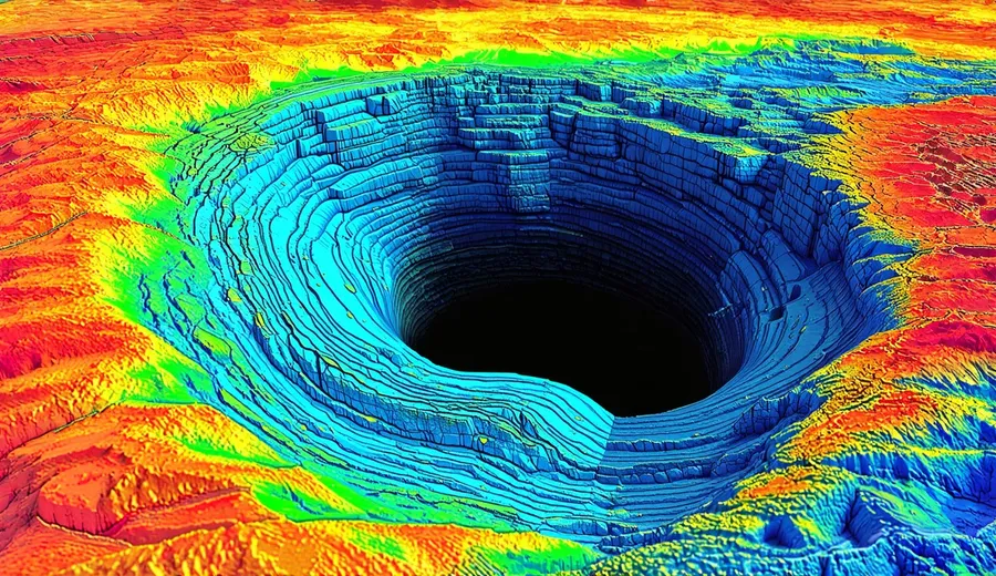
General relativity defines gravity as the curvature of spacetime caused by mass and energy, establishing a geometric framework where massive objects dictate the metric through which other particles move. This theoretical foundation posits that what is perceived as a force of attraction is actually the result of objects following the straightest possible paths in a curved geometry, a concept that overhauled the understanding of physics by unifying space and time into a single continuum. Gravitational waves propagate as ripples in this curvature at the speed of light, carrying information about cataclysmic astrophysical events such as the merger of black holes or neutron stars across the cosmos. These disturbances stretch and squeeze space itself in orthogonal directions as they pass, offering a unique channel for observing the universe that differs fundamentally from electromagnetic observation. Gravitational sensing measures minute variations in the gravitational field to infer mass distribution, relying on the principle that any local change in density alters the local spacetime curvature in a measurable way. This technology penetrates all physical barriers without line-of-sight limitations, allowing sensors to detect subterranean structures or submerged objects through solid rock and water, which would completely obstruct or scatter traditional electromagnetic signals like radar or lidar.

Laser interferometry detects gravitational waves by measuring phase shifts in split light beams, utilizing a setup where a laser is divided and sent down perpendicular arms only to be recombined at a detector. When a gravitational wave passes through the observatory, it changes the length of the arms differentially, causing an interference pattern shift that reveals the wave’s amplitude and frequency. LIGO achieved a strain sensitivity of 10^{-23} per root Hertz during its first observation run in 2015, a feat of engineering that required isolating the test masses from seismic noise and thermal fluctuations to an unprecedented degree. This sensitivity allowed the detection of black hole mergers billions of light-years away, confirming a major prediction of general relativity and opening a new window onto the universe. Atom interferometry utilizes the wave nature of atoms to measure acceleration and gravity gradients, employing laser pulses to split, redirect, and recombine atomic wave packets in a manner analogous to optical interferometry but with matter waves. The phase shift of the atomic wave function depends on the interaction with the gravitational field during the interferometer sequence, providing a direct measure of gravity based on quantum mechanical principles rather than optical path length differences.
Portable quantum gravimeters currently demonstrate sensitivities of approximately 10^{-11} g per root Hertz, bringing laboratory-grade precision into field environments for applications ranging from geodesy to mineral exploration. These devices use clouds of cold atoms, often rubidium or cesium, that are laser-cooled to microkelvin temperatures to reduce their velocity and increase their de Broglie wavelength, thereby enhancing their sensitivity to inertial forces. Superconducting Quantum Interference Devices measure magnetic flux to infer gravity changes in superconducting materials, operating on the basis of Josephson junctions that exhibit a critical current dependent on the magnetic field passing through a superconducting loop. While primarily magnetometers, these devices can be coupled with superconducting test masses to detect minute displacements caused by gravitational acceleration, offering extreme sensitivity for specialized applications in controlled environments. Thermal noise and seismic vibrations currently limit the operational environment of high-sensitivity sensors, as random molecular motion and ground shaking introduce uncertainty that can mask the faint signals of interest. Cryogenic cooling systems reduce thermal noise to enhance signal detection capabilities by lowering the temperature of critical components to near absolute zero, thereby damping the Brownian motion of atoms and electrons within the sensor materials.
These systems often utilize liquid helium or closed-cycle cryocoolers to maintain the stable low temperatures required for superconducting circuits or ultra-stable optical cavities to function effectively. AI algorithms process raw sensor data to distinguish gravitational signals from environmental noise, employing statistical techniques and pattern recognition to identify the specific signatures of interest within a noisy dataset. Machine learning models solve inverse problems to reconstruct subsurface mass distributions by taking the limited gravitational measurements collected at the surface and inferring the three-dimensional density arrangement that produced them, a task that is mathematically ill-posed and requires sophisticated regularization methods to yield unique solutions. Deep learning architectures classify geological features based on gravitational signatures, training neural networks on vast libraries of simulated and survey data to recognize patterns indicative of specific rock formations, mineral deposits, or voids. Real-time inference engines deployed on edge hardware reduce latency for critical applications by performing the necessary data processing locally on the sensor unit rather than transmitting raw data to a centralized server. This capability is essential for autonomous navigation systems or hazard detection where immediate decision-making is required based on the current gravitational reading.
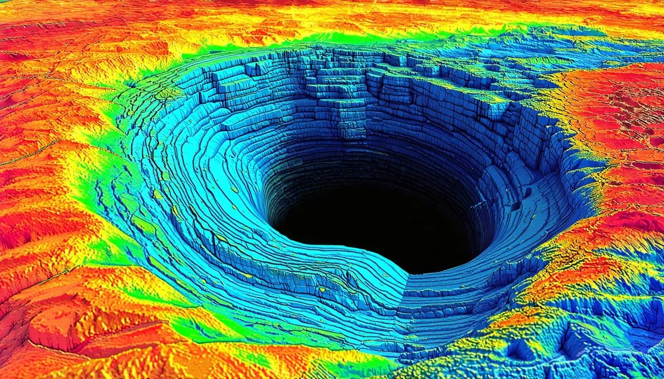
Current systems require vacuum chambers and vibration isolation to function correctly, necessitating heavy and bulky infrastructure that limits mobility and increases the cost of deployment. The vacuum eliminates air refractive index fluctuations and acoustic noise that would disturb optical or atomic measurements, while vibration isolation systems, often consisting of active feedback loops and passive damping stacks, decouple the sensor from ground movements. Power consumption constraints limit the deployment of these sensors in remote locations, as maintaining vacuum pumps, cryogenic coolers, and high-power lasers demands significant energy resources that are difficult to supply in off-grid environments. Subsurface resource mapping relies on gravity data to identify mineral and hydrocarbon deposits, exploiting the density contrast between ore bodies or hydrocarbon reservoirs and the surrounding host rock to locate valuable resources without drilling. Geophysicists interpret gravity anomalies to map the extent and shape of these deposits, providing critical information for resource extraction companies planning mining operations or oil wells. Gravitational methods detect underground voids where electromagnetic radar fails due to soil opacity, making them indispensable for detecting sinkholes, abandoned mines, or karst formations in areas where conductive clays or saline water attenuate radar signals.
The ability to sense mass deficits allows civil engineers and urban planners to assess subsurface stability and mitigate risks associated with ground collapse. Seismic tomography provides high resolution near the surface yet lacks depth penetration compared to gravimetry, as seismic waves scatter and attenuate rapidly in heterogeneous deep earth structures whereas gravitational fields integrate density information over depth. Neutrino detection offers poor directional resolution for practical subsurface imaging, because neutrinos interact so weakly with matter that detecting them requires massive detectors and yields very few events compared to the continuous stream of gravitational data available for analysis. While neutrinos can traverse the entire earth, their utility for detailed local imaging remains limited by current detector technology and flux rates. Civil engineers use microgravity surveys to detect sinkholes and assess structural stability, employing high-resolution gravimeters to measure minute changes in the gravitational field caused by subsurface erosion or void development beneath infrastructure such as dams, bridges, and buildings. Companies like AOSense and ColdQuanta develop quantum sensors for commercial applications, shrinking complex atomic physics apparatus down to ruggedized modules suitable for field deployment in navigation, defense, and geophysical surveying.
These firms focus on miniaturizing the laser systems and vacuum packages while maintaining the coherence of the atomic ensembles necessary for precise measurement. Defense contractors such as Lockheed Martin integrate gravimetric systems for navigation and surveillance, utilizing gravity maps to aid inertial navigation systems in GPS-denied environments where satellite signals are jammed or unavailable. By comparing real-time gravity measurements with onboard databases, these systems can correct for drift in gyroscopes and accelerometers to determine precise location without external references. The supply chain for these sensors depends on ultra-pure fused silica and rare-earth elements, materials essential for creating low-loss optical components and high-performance magnets used in atomic traps and laser systems. Manufacturing optical components requires nanometer-scale precision to minimize scattering losses, as surface imperfections can introduce phase noise that degrades the sensitivity of interferometric measurements. Any deviation from the perfect optical flatness or sphericity in mirrors and lenses creates systematic errors that limit the ultimate performance of the sensor.
Geopolitical tensions affect the availability of critical materials like niobium, a key element in superconducting alloys used for SQUID sensors and other sensitive magnetic detection hardware. Restrictions on the export or mining of these materials can disrupt production schedules and increase costs for manufacturers reliant on a stable supply of high-purity metals. Export controls on quantum technology restrict international collaboration in sensor development, limiting the ability of researchers and companies across borders to share technical knowledge, components, or data that could accelerate advancements in the field. These regulations aim to prevent the proliferation of dual-use technologies that could have military applications, yet they also fragment the global research effort and slow down standardization processes. University research groups partner with private firms to advance signal processing algorithms, combining academic expertise in theoretical physics and machine learning with the engineering resources and practical focus of industry to bring new sensing modalities to market. Software stacks must handle real-time tensor computation and uncertainty quantification, processing multi-dimensional data streams from sensor arrays while simultaneously calculating the statistical confidence of the inferred results.
Strong software architectures ensure that the insights derived from gravitational data are reliable and actionable even in the presence of significant sensor noise or environmental interference. Regulatory frameworks currently lack standards for gravitational data ownership and privacy, creating legal ambiguity regarding who possesses the rights to subsurface information derived from gravimetric surveys and how such data can be shared or monetized. As sensing technology becomes more pervasive, questions arise about the implications of mapping private property or national infrastructure with high-resolution gravity scanners that can see through walls and underground. Infrastructure upgrades require stable power and vibration-damped platforms for sensor networks, necessitating significant investment in physical facilities to support the next generation of ultra-sensitive measurement devices. Traditional survey crews face displacement as automated gravitational mapping systems become prevalent, shifting the industry towards remote sensing operations that require fewer personnel on the ground while generating vastly larger datasets. This transition alters the job market for geophysicists and surveyors, demanding new skills in data science and system operation rather than manual measurement techniques.
New business models offer subsurface insights via API-based gravitational analysis services, allowing customers to access processed gravity data and interpretation tools on demand without owning the expensive sensor hardware themselves. This democratization of subsurface intelligence enables smaller companies and researchers to apply advanced sensing capabilities for specialized applications. Performance metrics now focus on signal-to-noise ratio under clutter and AI inference latency, prioritizing the ability of the system to deliver accurate results quickly in complex environments where multiple sources of interference exist. System reliability depends on uptime in harsh environments and calibration drift over time, requiring strong engineering designs that can withstand temperature extremes, mechanical shock, and long-term degradation of optical or atomic components without significant loss of accuracy. Self-calibrating protocols using internal references or known mass standards help maintain measurement precision throughout the operational life of the sensor. Space-based sensor constellations will provide global coverage and reduce terrestrial noise interference, placing gravimeters in orbit where atmospheric effects and seismic noise are absent, allowing for the measurement of the earth’s gravity field with unprecedented uniformity and resolution.
These satellite missions can detect large-scale mass transport phenomena such as melting ice sheets or aquifer depletion, contributing to climate science and resource management. Superintelligence will operate ultra-stable gravitational sensor networks with zeptometer-level precision, managing arrays of sensors distributed across the globe and in space to form a unified observatory capable of detecting the most subtle variations in spacetime geometry. This level of precision approaches the Planck length scale, enabling the detection of phenomena previously thought to be immeasurable. Future calibration protocols will account for relativistic frame-dragging and cosmological expansion, correcting for the minute effects predicted by general relativity such as the Lense-Thirring effect caused by the rotation of the earth or the redshift of signals due to the expansion of the universe. These corrections are essential for maintaining accuracy as sensor sensitivities improve to the point where relativistic effects become significant sources of error. Superintelligence will monitor planetary-scale mass redistributions to predict tectonic shifts, analyzing continuous streams of gravity data to identify patterns that precede earthquakes or volcanic eruptions by detecting the slow accumulation of stress or magma movement deep underground.
This capability could transform disaster prevention by providing warnings weeks or months in advance of major geological events. Advanced AI will map dark matter flows through high-fidelity gravitational anomaly detection, distinguishing the subtle gravitational influence of non-baryonic matter from ordinary mass distributions to create detailed maps of dark matter halos around galaxies and clusters. Understanding these flows provides insights into the core structure of the universe and the nature of dark matter particles. Real-time analysis of gravitational data will enable navigation in GPS-denied environments by matching local gravity signatures against high-resolution global maps, allowing vehicles, submarines, and drones to determine their position with high accuracy without relying on external radio signals. This method is particularly valuable for underwater navigation where GPS signals cannot penetrate and for autonomous systems operating in contested electronic warfare environments. Superintelligence will identify artificial megastructures or non-human artifacts via gravitational signatures, detecting anomalies in mass distribution that cannot be explained by natural geological processes or known human engineering, potentially revealing large-scale constructions hidden from visual observation.
Quantum computing connection will solve large-scale inverse problems instantly, processing the computationally intensive calculations required to reconstruct three-dimensional density maps from gravity data in real time, a task that currently takes hours or days on classical supercomputers. The ability to solve these problems rapidly allows for adaptive updating of subsurface models as new data arrives. Multi-physics imaging systems will fuse gravitational data with seismic and magnetic inputs, combining the strengths of different modalities to create comprehensive images of the subsurface that resolve ambiguities intrinsic in single-method surveys. Sensor fusion algorithms correlate features across different data types to improve resolution and confidence in the final interpretation. This technology shifts the method from observing emitted signals to measuring spacetime geometry, changing the key framework of sensing from detecting what an object reflects or emits to detecting how it warps the fabric of reality around it. This approach provides a more direct measure of mass and energy, independent of the object’s composition or surface properties.
AI transforms abstract curvature data into actionable physical insights, translating complex mathematical descriptions of spacetime distortion into intuitive models of underground tunnels, mineral veins, or structural weaknesses that human operators can understand and utilize. Gravitational sensing will redefine the concept of observability in science and industry, making the invisible visible and allowing humanity to perceive the hidden mass distribution of our planet and beyond with ever-increasing clarity and depth.